
The story behind Dandii — and why building the right thing sometimes means waiting for the world to catch up.
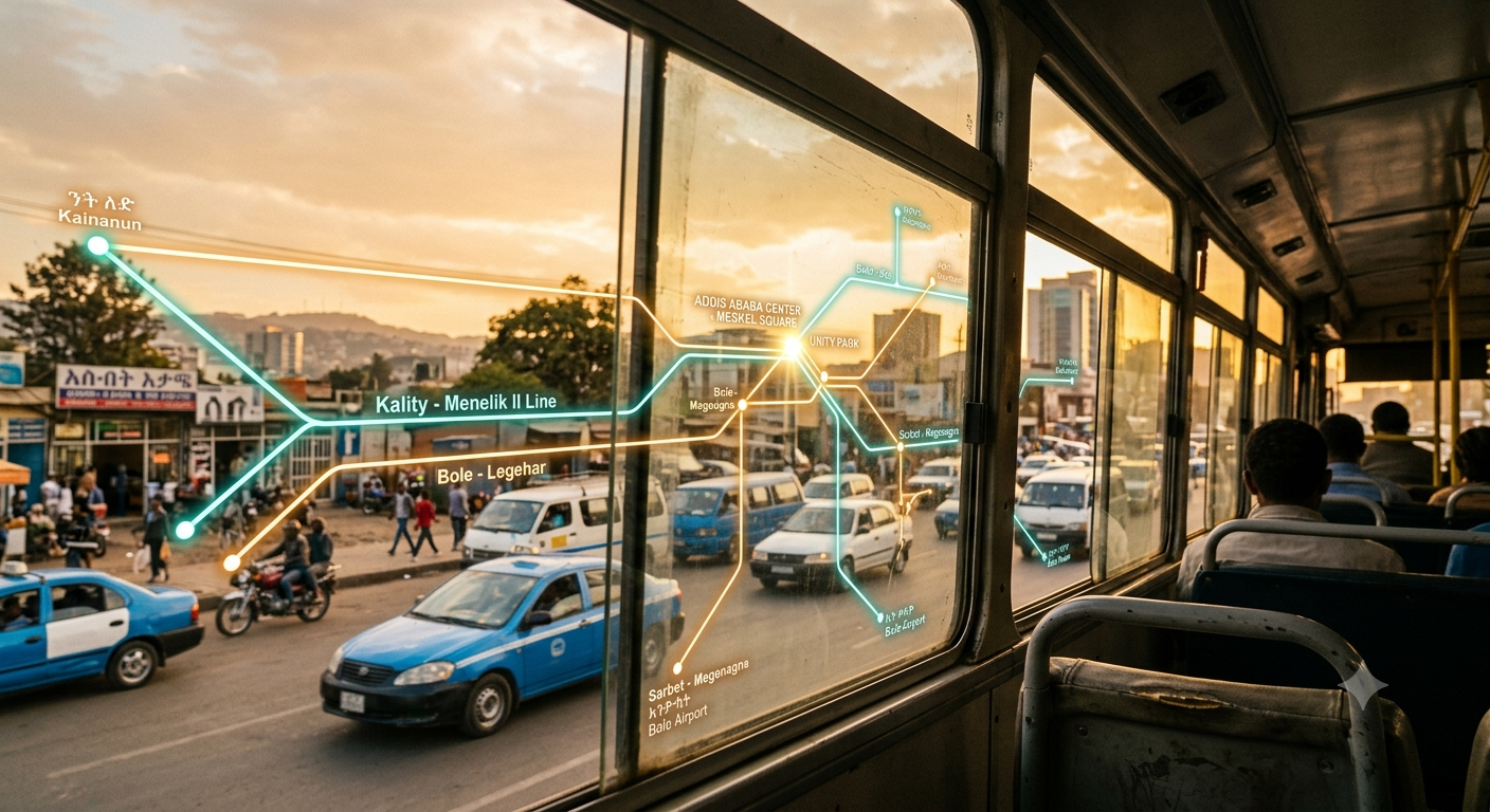
It was 2018, and I was on an Anbessa bus somewhere between Piazza and Megenagna. The bus was full — standing room only, the kind of packed where you learn to hold your balance without grabbing anything. A woman near the front asked the man next to her: “Does this bus go to Bole?” He shrugged. She asked the driver. The driver half-nodded without looking back.
I watched this exchange and thought: this exact scene is happening right now on hundreds of buses across Addis Ababa. Five million people in this city, and nobody knows where the bus is going until they’re already on it.
I pulled out my phone. I opened Google Maps. Typed in a destination. “Transit directions are not available in this area.” I tried every app I could think of. Not a single one had Addis Ababa’s transit routes.
Five million people. Hundreds of bus routes. Zero digital tools to navigate them. That gap bothered me in a way that didn’t go away.
That was the moment the idea first took shape. Not as a startup pitch or a product roadmap — just a frustration that crystallized into a question: why can’t someone in Addis open their phone and see where the buses go, the way people do in Nairobi, in Dar es Salaam, in Cape Town?
The Problem Wasn’t the App — It Was the Data
I went home that evening and started sketching out what a transit app for Addis Ababa would look like. Routes on a map. A search bar. Tap a bus number, see every stop. Simple enough, right?
It took me about two days to hit the wall.
There was no data. Not “hard to find” data. Not “locked behind a paywall” data. It simply did not exist in any structured, machine-readable format. Addis Ababa’s transit network — Anbessa city buses, Sheger buses, Alliance buses, thousands of blue-and-white minibuses, the LRT — was running entirely on institutional knowledge. Routes lived in the heads of drivers, conductors and the heads of the people who are familiar with the Routes. Stops were marked by crowds of people standing on the side of the road and sometimes broken or faded stop signs.
You can’t build a transit app on institutional knowledge. You need a GTFS feed — a General Transit Feed Specification — the standardized data format that powers every transit app on the planet, from Google Maps to Citymapper. Without GTFS, you’re guessing. And guessing gets people on the wrong bus.
I remember sitting at my desk that week, thinking about solving this problem and started to prototype the app I had in mind but quickly realised this isn’t an engineering problem. This is a data problem. And I can’t solve it alone.
So I shelved the app. Not because I’d given up — because I understood what needed to happen first.
Working on the Foundation
The opportunity came right after my graduation when I joined the technical team at World Resources Institute (WRI) Africa. WRI was running an initiative called Digital Transport for Africa — DT4A — with a mission that felt like it had been written specifically for the problem I’d been wrestling with: create standardized, open transit data for African cities.
My role was on the technical side. Processing raw transit data. Analyzing routes, stops, schedules, and fare structures. Turning field surveys and GPS traces into the structured GTFS format that would make Addis Ababa’s transit network machine-readable for the first time.
The scale of what we were mapping was staggering. 447 routes across five operators: Anbessa, Sheger, Alliance, the minibus associations, and the Addis Ababa Light Rail Transit. Every route surveyed, every stop geolocated, every connection documented.
I was building the dataset I’d needed three years earlier — the one whose absence had killed my first prototype. This time, I wasn’t building alone.
Working on the GTFS data gave me something more than just access to a dataset. It gave me a deep understanding of how Addis Ababa’s transit network actually works — the overlapping routes, the informal stops, the way minibuses create their own corridors based on demand rather than planning. That knowledge would prove invaluable later.
The Long Wait
Even after the GTFS dataset was complete, I didn’t rush to build the app. Life had other plans — a full-time engineering career, other projects, other priorities. In fact, another company started to build a mobile app on top of the first version of the GTFS and relased it to the public. Yet it was still far way from giving the info what the people actually need and struggle with. I was closely following up with the process but due to other priorites I couldn’t contribute nor keep using it as I felt the app was not intuitive, not so good wtih the design. But the idea never left. It sat in a corner of my mind, growing clearer over the years as I accumulated the engineering skills I’d need to build it properly.
- 2018 The idea is born on an Anbessa bus. First prototype dies due to lack of data.
- 2019 Join WRI Africa’s technical team. Start processing transit data for the DT4A GTFS initiative.
- 2020–24 Full-time software engineering. Building skills in mapping, real-time systems, and web development. The idea simmers.
- 2025 DT4A publishes the GTFS 2026 feed — 447 routes, fully standardized. The data I needed finally exists as a maintained, open resource.
- 2026 Dandii goes live. Eight years after the bus ride that started it all.
People may ask why it took so long. The honest answer is that the pieces weren’t ready — the data, the skills, the ecosystem. Building the right thing at the wrong time is just as wasteful as building the wrong thing. I wanted to wait until I could build something that would actually work, not another prototype that would die in a month.
Building Dandii
When I finally sat down to build Dandii, the vision was clear. Not a toy. Not a demo. A real platform that someone in Addis could open on their phone, search for a route, and get a useful answer.
I built it as a side project while working full time — early mornings, late nights, weekends. The tech stack reflects what I’d learned about building for Ethiopian users: fast on slow connections, mobile-first, no app install required. An interactive map powered by MapLibre GL that loads quickly even on 3G. A search engine that knows every route and every stop in the city.
But I also wanted to build something that goes beyond just information. Transit systems are living things — fares change, routes shift, stops move. A static map goes stale. So I built in feedback loops:
- Route search — find any route or stop across Anbessa, Sheger, Alliance, minibuses, and the LRT
- Interactive transit map — explore the full network visually, see where routes overlap and connect
- Sign in and bookmark — save your frequent routes for quick access
- Share routes — send a specific route to someone else with a direct link
- Fare correction feedback — when the listed fare doesn’t match what you’re paying, report it so the data stays honest
That last feature is one I’m most proud of. Transit data in a city like Addis Ababa is only as good as its maintenance. Fares change informally. Routes adjust to road conditions. By letting riders flag discrepancies, Dandii creates a feedback channel between the people who use the system every day and the data that represents it.
Why “Dandii”?
The name comes from Afaan Oromoo. “Dandii” means road, path, way — the route you take to get where you’re going. It felt right for a tool that’s fundamentally about showing people the way through a complex city. (The project was originally called “Menged,” which means road in Amharic, but Dandii felt more personal.)
ዳንዲ — the way forward.
Standing on Open Data
Acknowledgment
Dandii is built entirely on the official GTFS 2026 feed created and maintained by Digital Transport for Africa (DT4A), an initiative of WRI Africa (World Resources Institute). The DT4A team’s ongoing work in collecting, standardizing, and keeping this data up to date is what makes tools like Dandii possible. Open transit data is infrastructure — and DT4A is building it for the continent. Thank you for making this data available to builders everywhere.
This is something I feel strongly about. The hardest part of building a transit app for an African city isn’t the code — it’s the data. Without organizations like DT4A doing the unglamorous, painstaking work of surveying routes, validating stops, and publishing open datasets, apps like Dandii can’t exist. Every transit app you’ve ever used — Google Maps, Citymapper, Transit — runs on GTFS data that someone had to create and maintain. In Addis Ababa, that someone is DT4A. You can check the repo at GitHub
What’s Next
Dandii is live, but it’s far from finished. This is version one — the foundation. There are features I want to add: real-time vehicle tracking when the infrastructure supports it, journey planning across multiple routes, deeper fare transparency tools, and expansion to other Ethiopian cities as GTFS data becomes available.
But right now, the most important thing is that the app exists. Someone in Addis can open their phone, search for a bus route, and actually find it. That woman on the Anbessa bus in 2018 — she has an answer now.
This is my first side project to go live while I’m still working full time. It took eight years from idea to launch. Sometimes the best thing you can do for an idea is give it time — time for the data to exist, time for you to grow into the person who can build it right.
Dandii is the app I wished existed in 2018. It took eight years, a career in software engineering, and the work of an incredible data team to make it real. But here we are.
Try Dandii
Search routes, explore the map, bookmark your commute.
Try Dandii yourself – Open dandii.app
Let’s connect
I’m Rabra — I write about web development, Linux, QGIS, design, and building technology for local context, with a focus on making it all accessible to developers and students in Ethiopia. You can find everything I do at rz-codes.com and follow @rzcodes on YouTube, Telegram, TikTok, and X.
Now I’d love to hear from you: what’s an idea you’ve been carrying since years ago that you still haven’t built — and what would it take to finally start? Tell me in the comments. 👇